

Join Our Community
33,610 members are helping us to bring our collection to life.
Create a free Vintage Aerial account now to start commenting on photos, pinning locations, and earning points redeemable for our products!
Sign up now and receive a coupon for 10% off your first order!
Comments
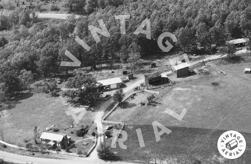
The pin on the map is centered on the house at the road, in the photo above. The dark barn (with the end shed extension) at the rear is a Mail Pouch barn. It has been razed and removed. The barn is ID'd as MPB 48-29-05 on the Mail Pouch Barnstoremer's website.
https://vintageaerial.com/photos/west...