

Virginia
We have 1,085,448
aerial photos available in Virginia.
Select a county from the list or map to start searching:
State Leaderboard
-
27,062 total points27,062
-
17,157 total points12,306
-
8,992 total points8,954
Help us preserve the heritage of rural America and earn rewards by commenting and geotagging photos. Create a free Vintage Aerial account now!
Most Viewed Photos
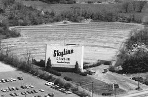
23-DAA-29
1984
3K
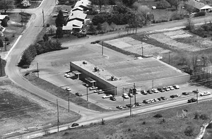
23-DAA-30
1984
1K

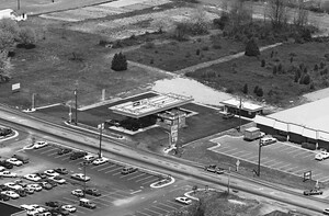
23-DAA-33
1984
1K

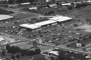
23-DAA-31
1984
1K
23-DAA-34
1984
1K

23-DAA-35
1984
1K
23-DAA-32
1984
1K
22-IKW-31
1986
2K

Latest Comments