

Vermont
We have 19,256
aerial photos available in Vermont.
Select a county from the list or map to start searching:
State Leaderboard
-
3,659 total points2,514
-
1,237 total points1,237
-
16,651 total points1,175
Help us preserve the heritage of rural America and earn rewards by commenting and geotagging photos. Create a free Vintage Aerial account now!
Most Viewed Photos
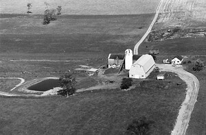
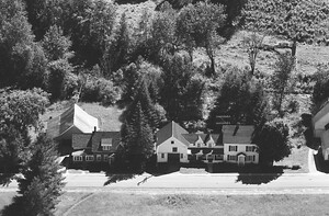
9-RAD-12
1967
672
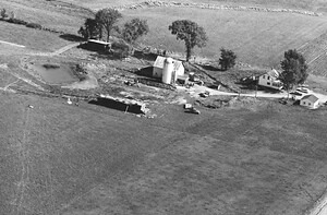
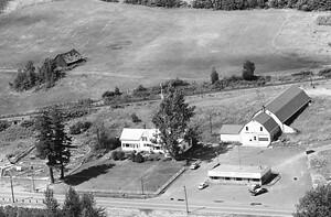
9-RAD-13
1967
827
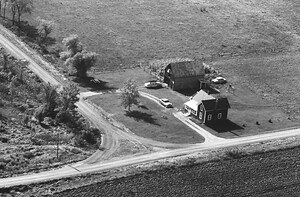
9-RAD-14
1967
609
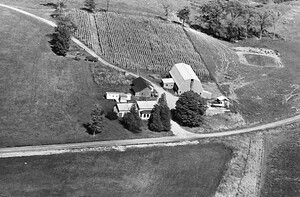
9-RAD-10
1967
643
5-QCA-14
1966
837

10-QOR-29
1966
1K

14-QOR-6
1966
665
29-QOR-5
1966
649

Latest Comments