

Join Our Community
33,952 members are helping us to bring our collection to life.
Create a free Vintage Aerial account now to start commenting on photos, pinning locations, and earning points redeemable for our products!
Sign up now and receive a coupon for 10% off your first order!
Comments
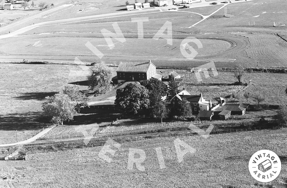
Walkersville looking east from Biggs Ford Rd across the RR towards the WHS track and Soccer Field, back of the school is at the rear.
This farm is all gone, now. House coordinates were, 39.49157, -77.35745. The end of Ports Circle, Walkersville, is the location.